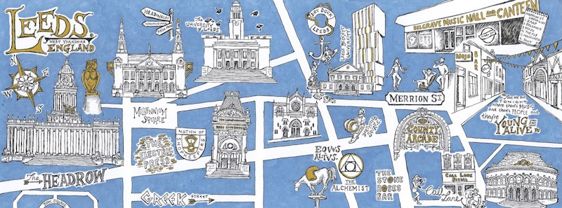
The brief for this project was to illustrate a map of a special place which would be published alongside 99 other maps of special places created by artists from across the world. With over 400 entries, my map of Leeds was chosen to be one of 100 illustrated maps within the publication.Illustrated with archival Indian ink, and hand-coloured with Winsor & Newton Promarkers, the colour palette was intentionally muted and minimal to allow for the imagery itself to be clearly readable. From city landmarks which helped me navigate the city when I first arrived there in 2013, to some of the bars where I socialised with friends after a busy day of lectures, this map illustrates the city of Leeds through the eyes of a student, and even features some of the people who made my time in that city so special.The book of ‘100 Illustrated Maps of Very Special Places’ in which my map sits was published in February 2020 by They Draw and Travel, and each map within the book has been converted into a virtual map of places around the world by Stroly International.During the global pandemic which started a series of lockdowns in 2020, this book became a source of comfort to many people who were unable to leave their homes – instead choosing to do some “armchair travel” through the pages of this book.ISBN-13 : 979-861568866

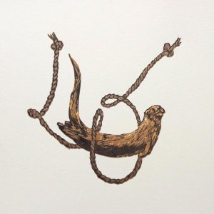
‘Otter-Catcher’
This piece was a commission which I was asked to do by two grandparents for their grandson’s 18th birthday. With Dutch descent, the family name


